

Municipal 511 with Esri Integration
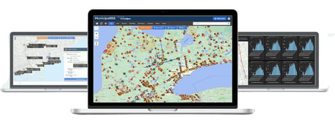
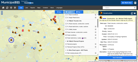
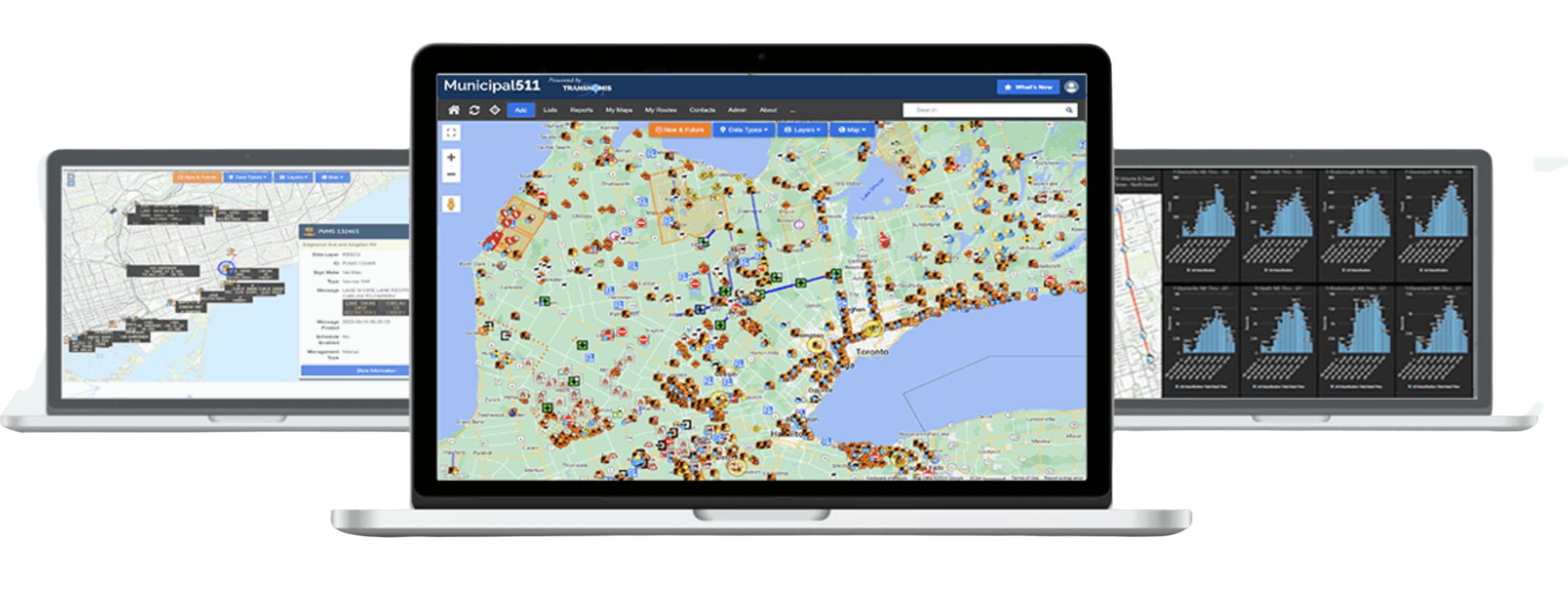
Municipal 511 is a public-facing and agency-coordination map platform that displays road events, closures, restrictions, and infrastructure conditions. The Esri-enabled version enhances data accuracy, consistency, and interoperability across agencies.
Key Features
- One unified regional road information map
- Public and private data layer options
- Integration with Waze, emergency responders, and GIS systems
- Support for cameras, VMS, weather stations, and traffic data
- Direct linkage with Permit Central for project coordination
Benefits
- Real-time road information improves safety and traveler awareness
- Reduced public confusion and call volumes
- Faster cross-agency coordination and data sharing
- Future-ready Esri-based data management standards
Use Cases
- Traveler information portals
- Emergency routing and detour planning
- Work zone coordination
- Regional mobility dashboards
Experts ready to help you
A dedicated team, tailor-made solutions, service above all.
Speak to an expert

Featured Products
Discover our cutting-edge technologies designed to optimize traffic flow and user safety.
Completed projects
See all our products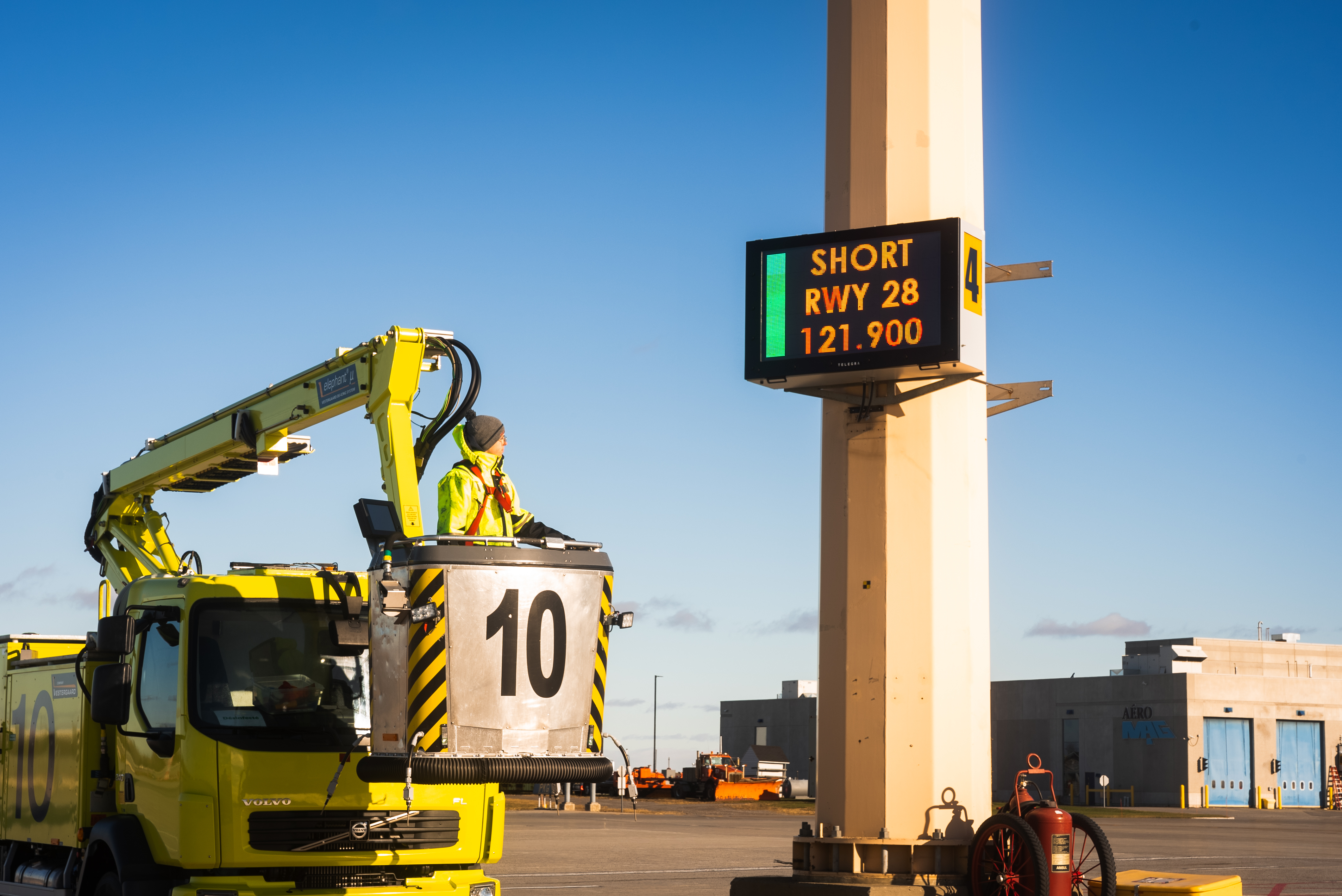
Clear Messages for Safer Aircraft Deicing
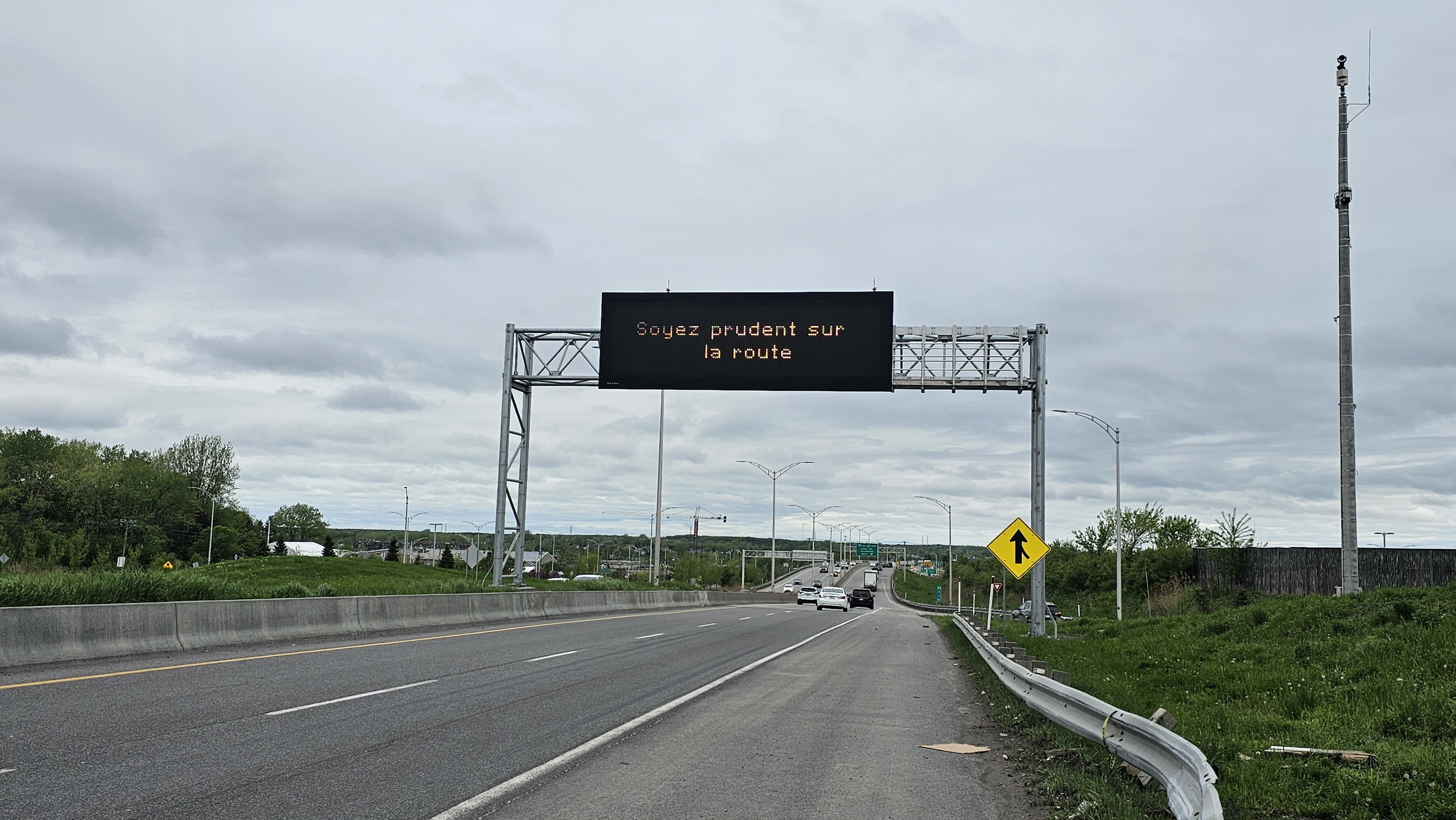
Modernizing Origin-Destination Transportation Modeling Through Floating Car Data
.jpg)
New MTQ Standard: A Concrete Step Forward for Intersection Safety
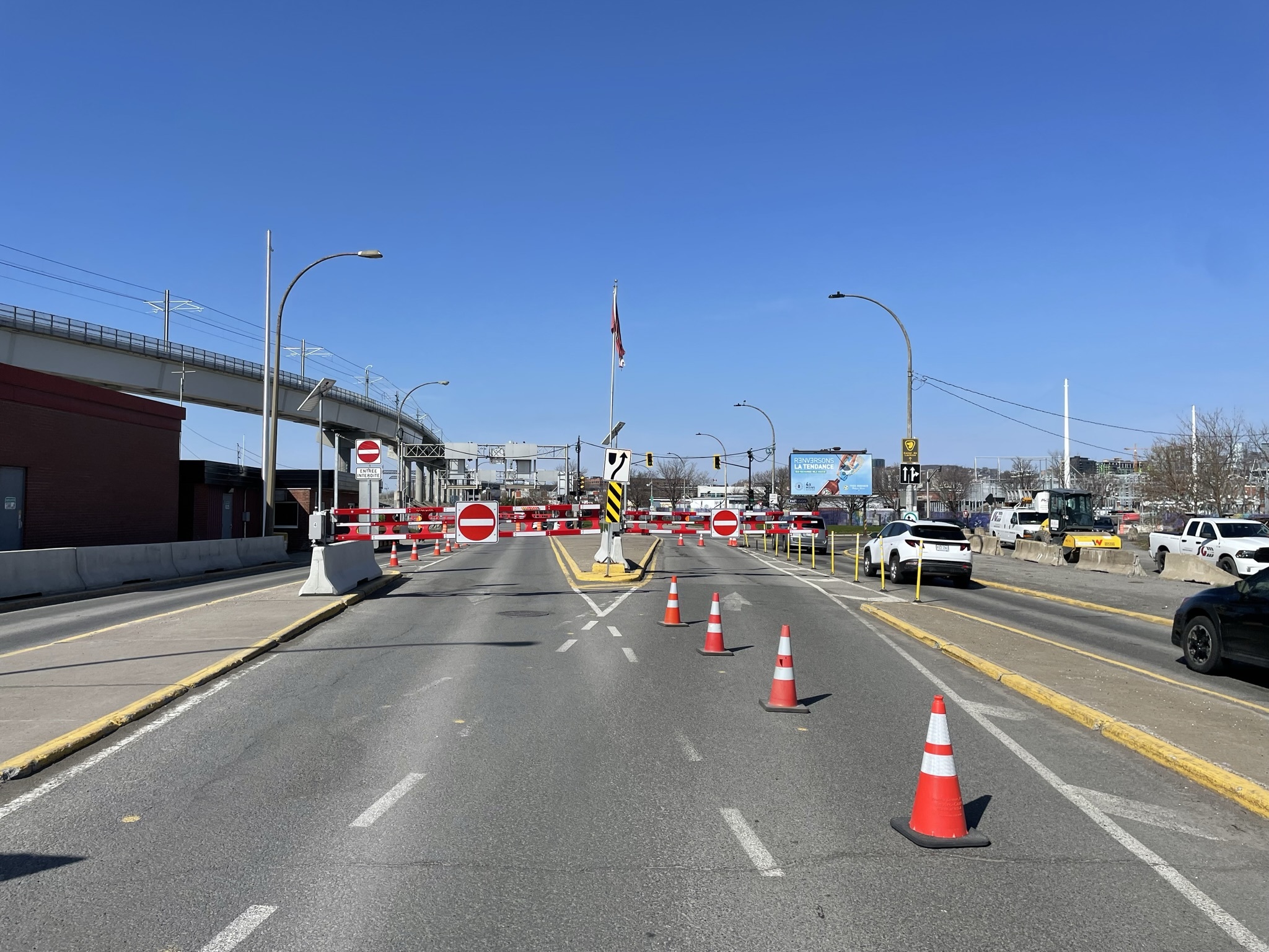
Victoria Bridge Project Improving Traffic Flow and Enhancing Safety on the Victoria Bridge

When Artificial Intelligence Transforms an Urban Corridor
.png)
Optimization of Boulevard St-Charles in the City of Kirkland through NoTraffic and Artificial Intelligence
Traveler Information for Pie-IX Boulevard
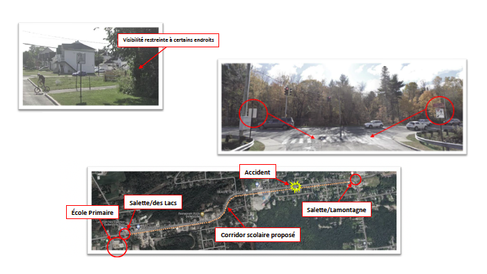
Intervention Plan for Improving Intersections in Saint-Jérôme