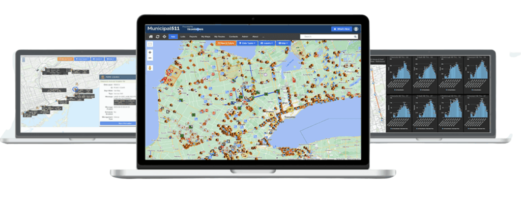
Municipal 511 with Esri Integration
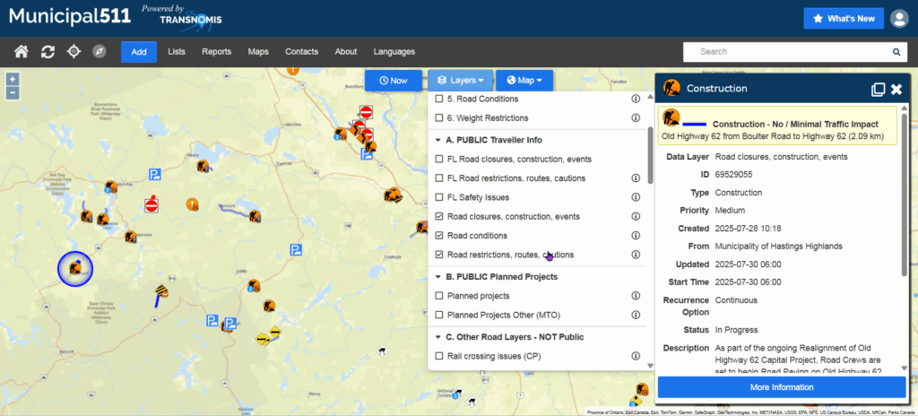
Municipal 511 is a public-facing and agency-coordination map platform that displays road events, closures, restrictions, and infrastructure conditions. The Esri-enabled version enhances data accuracy, consistency, and interoperability across agencies.
Description
Key Features
- One unified regional road information map
- Public and private data layer options
- Integration with Waze, emergency responders, and GIS systems
- Support for cameras, VMS, weather stations, and traffic data
- Direct linkage with Permit Central for project coordination
Benefits
- Real-time road information improves safety and traveler awareness
- Reduced public confusion and call volumes
- Faster cross-agency coordination and data sharing
- Future-ready Esri-based data management standards
Use Cases
- Traveler information portals
- Emergency routing and detour planning
- Work zone coordination
- Regional mobility dashboards
Other products

Stay
tuned!
Get information on our latest innovations, coming events and industry news